14. Earth Observation Techniques and Data Analysis
Docenti / Lecturers
Gabriele Bitelli (UNIBO-DICAM) – Emanuele Mandanici (UNIBO-DICAM) – Bianca Maria Dinelli (CNR-ISAC)
4 CFU - 32 ORE / 4UEC - 32 HOURS
OBIETTIVI FORMATIVI / LEARNING OBJECTIVES
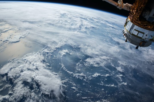
Module 1: Earth Observation systems, data and applications (G. Bitelli, E. Mandanici, 20h + 10h)
The course provides both theoretical knowledge and practical skills in Earth Observation techniques and their adoption inside Geographical Information Systems (GIS). Students will acquire the fundamentals on the use of satellite remote sensing imagery to derive qualitative and quantitative information about the territory (at urban, basin and regional scale). Students will also develop practical skills through examples and exercises of EO data processing and thematic map generation.
The main learning objective are:
- Understanding of the main characteristics of multispectral satellite images;
- Main EO satellite missions, with emphasis on Copernicus program;
- Basics of the effects of the atmosphere on multispectral images, spectral profiles of main land cover types;
- Skills on basic pre-processing of images (radiometric and geometric);
- Knowledge of the potential and limitations of the main image classification techniques;
- Familiarity with the integration of EO data with modern Geomatics techniques on GIS platforms.
Module 2 (B.M. Dinelli, A. Bonazza, 6h + 4h)
The module will be divided into two parts. The first part will be focused to the basic concepts of satellite measurements of the atmospheric and surface properties. All the aspects (from the principal measurement techniques to the data analysis methods) will be treated, dealing mainly with observations in clear sky condition. In the second part an introduction of the basics of pollution and climate change impact on cultural heritage will be illustrated, followed by an analysis of satellite data for the protection and management of built heritage and landscape at risk, by presenting showcases of application.
1st part on satellite atmospheric measurement techniques and data analysis (Bianca M. Dinelli, 6h)
- Radiative transfer in atmosphere in clear sky and molecular spectroscopic properties.
- Inversion methods to obtain the atmospheric status from remote sensing measurements. Error evaluation of the obtained quantities
- Description of the main measurement techniques used to observe the atmospheric status (temperature and composition) and examples of satellite instruments for the atmospheric measurement and their products.
- 2nd Part on satellite data for the protection of cultural heritage (Alessandra Bonazza, 4h)
- Impact of pollution and climate change on cultural heritage: assessment methodologies and still existing gaps in research
- Matching Copernicus services portfolio with Cultural Heritage user requirements
- Showcases of satellite data application for risk assessment of built heritage and landscape exposed to climate extreme events.